If you live in Kansas City or own property here, you’ve probably heard about the recent controversy in the Valentine neighborhood. At the heart of this debate is a simple but powerful tool called a property line survey. This survey defines where one property ends and another begins. But in Valentine, it became much more than a map — it sparked a heated argument between a big company and local residents.
What Is a Property Line Survey and Why Does It Matter?
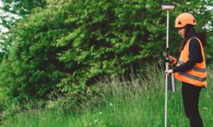
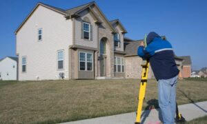
A property line survey is a detailed check of the exact boundaries of a piece of land. It uses markers, old maps, and modern tools to draw clear lines showing where one property stops and the next begins. When these lines are unclear or disputed, problems can pop up — neighbors might fight over fences, builders might accidentally build on the wrong land, or property owners might lose control of their land.
In Valentine, this survey became central because the landowner, Kansas City Life Insurance (KCLI), used it to make decisions about demolishing old homes. This didn’t sit well with local residents, leading to a clash that drew city-wide attention.
The Valentine Neighborhood: A Community at Risk
Valentine is one of Kansas City’s oldest neighborhoods. It’s known for its unique charm and historic homes. For decades, KCLI has owned several properties here. Recently, they started tearing down many of the older houses, leaving empty lots in their place. This demolition work alarmed residents, who worried about losing the neighborhood’s character.
In response, residents pushed to have part of Valentine declared a historic district. If approved, this status would protect many homes from being demolished. But KCLI argued that their land rights, supported by property line surveys, gave them the authority to redevelop the lots as they wished.
How the Property Line Survey Fueled the Debate
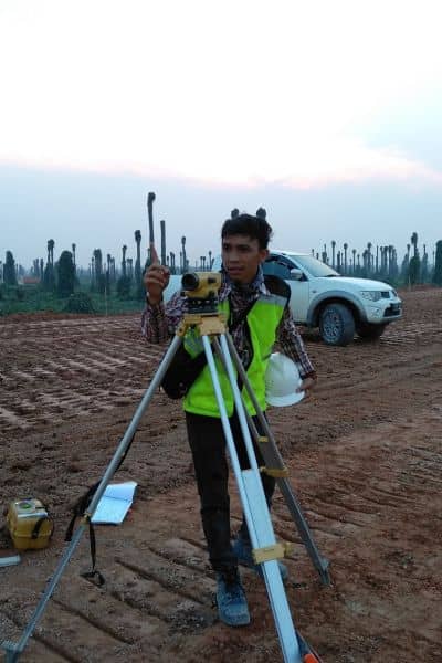
At first glance, a property line survey might seem like a dry, technical document. But in Valentine, it became a powerful tool. KCLI presented their survey to prove ownership and clear boundaries, giving them legal backing to proceed with demolitions.
However, some residents questioned the accuracy and timing of the surveys. They felt the surveys were used to push through demolitions without fully considering community concerns. This led to tensions and a wider discussion about how surveying can influence land use decisions.
Property Line Surveys: More Than Just Lines on a Map
What makes property line surveys so important is their impact beyond just showing boundaries. In places like Valentine, they affect people’s lives, their homes, and their sense of belonging.
When a survey is accurate and transparent, it can help avoid disputes. But when it’s seen as a tool for developers or companies to bypass community wishes, it can cause distrust and conflict. The Valentine case shows how a survey can become a symbol of much larger issues — like historic preservation, urban growth, and who really controls the land.
Why Property Line Surveys Are Crucial for Residents
Kansas City is a mix of old and new neighborhoods. Many areas, like Valentine, have lots with boundaries drawn long ago. Over time, these lines can get confusing. Fences might be built in the wrong place, or records might be incomplete.
For homeowners, this confusion can lead to problems such as property disputes or legal challenges. That’s why property line surveys are so important. They provide clear, legal proof of your property boundaries and help you avoid costly mistakes if you plan to build, sell, or buy land.
What Homeowners and Developers Can Learn from the Valentine Controversy
One big lesson from Valentine is this: don’t underestimate the power of a property line survey. Whether you’re a homeowner, a developer, or a city planner, understanding exactly where your property lines lie can save you headaches.
If surveys are done carefully and shared openly, they build trust between neighbors and authorities. But when surveys are used without transparency, they can deepen divides.
For property owners, this means working with licensed surveyors and making sure survey results are clear and communicated well. It also means being aware of local community efforts like historic district petitions that might affect your land.
The Future of Valentine and Property Line Surveys
The Valentine neighborhood controversy is far from over. The debate highlights the ongoing struggle between preserving Kansas City’s history and allowing growth and development.
Property line surveys will continue to play a crucial role. They help define rights but also influence city planning and neighborhood character. The hope is that surveyors, property owners, and community members can find ways to work together, balancing progress with preservation.
Final Thoughts:
A property line survey may seem like just a technical formality. But as Valentine shows, it has the power to shape neighborhoods and lives. When done right, it protects your property, your investment, and your peace of mind.
If you own land with rich history and changing neighborhoods—make sure you understand your property lines. Hiring a licensed surveyor and utilizing trusted property survey solutions can provide the clarity and confidence you need. Don’t hesitate to ask questions and stay involved in community decisions that affect your land.
After all, knowing where your land begins isn’t just about maps. It’s about protecting your place in the community.
