Blog
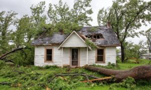
Cadastral Surveyor: When Storms Erase Property Lines
When the recent tornado hit St. Louis, it changed many neighborhoods in minutes. Roofs flew off. Trees snapped. Fences landed in the street. However, the
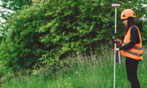
Why Elevation Certificate Checks Surge After Flood Rescues
When flood rescue videos from Kansas City started spreading online this week, many homeowners felt the same reaction: Could that happen near me? Even people
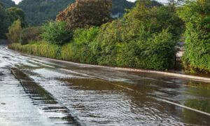
Topographic Survey: Predict Water Flow After Utility Breaks
When a city water line breaks, the damage often looks random. One block floods badly while the next stays mostly dry. A parking lot turns
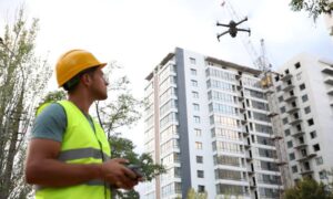
LiDAR Mapping: How the Drone Boom Is Driving New Demand
Kansas City has seen a big rise in drone use across construction, engineering, and land development. Drones now appear on many job sites. They help
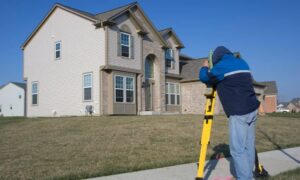
Average Cost of a Land Survey, Broken Down by Survey Type
If you are trying to figure out the average cost for a land survey, you are probably feeling confused already. One website says a few
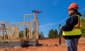
Drone Surveying Is Changing Fast: What It Means for Projects
Drone surveying has become a familiar part of land development and construction across Kansas City. Just a few years ago, it felt new and experimental.