LiDAR Mapping: How the Drone Boom Is Driving New Demand

Kansas City has seen a big rise in drone use across construction, engineering, and land development. Drones now appear on many job sites. They help teams check progress, inspect areas, and gather data. Because of this, expectations for land information have changed. Today, developers no longer settle for simple aerial photos. Instead, they want clear […]
Average Cost of a Land Survey, Broken Down by Survey Type
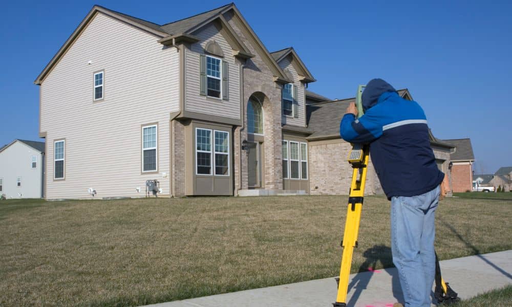
If you are trying to figure out the average cost for a land survey, you are probably feeling confused already. One website says a few hundred dollars. Another says several thousand. That big gap makes people nervous, especially when they are already buying a home, applying for permits, or planning construction. In St. Louis City, […]
Mineral Boom Raises Need for Due Diligence Survey

Missouri just made national news after the U.S. Geological Survey announced that the state now holds 36 of the 60 minerals the country considers critical. This update created a wave of interest in land across Missouri, especially in rural areas where these resources may be found. As buyers, developers, and investors rush to secure property, […]