Drone Surveying: How AI Helps You See Your Land Clearly

Storms in Kansas City can change land overnight. One day, everything looks normal. The next day, water may sit in new places, soil may shift, and access points may no longer work the same way. Because of this, the city has started testing new tools that use drones and AI to map storm damage faster. […]
How Drones Speed Up Subdivision Planning Work
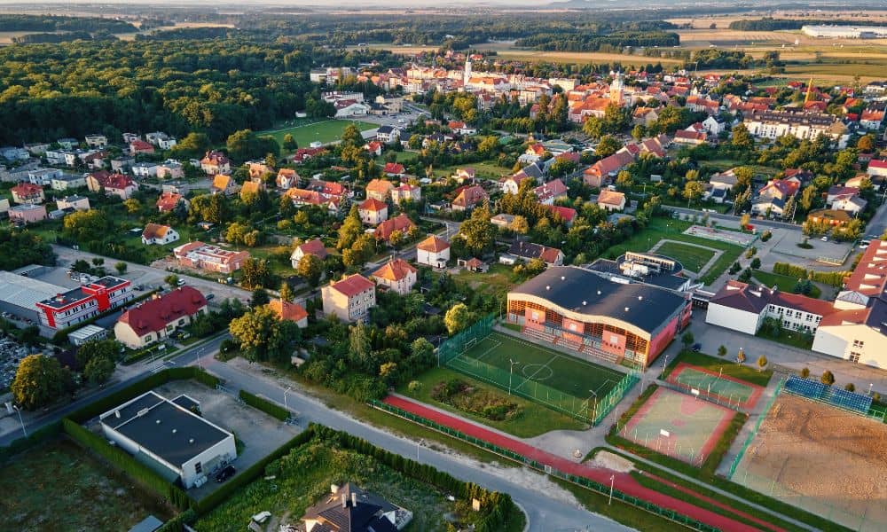
Subdivision planning is moving fast. New neighborhoods are popping up across the metro area as families look for homes near good schools, growing job centers, and modern amenities. With land in high demand, developers can’t afford delays in planning and approvals. That’s why many surveyors and engineers now turn to drones. These powerful tools are […]