Drone Surveying: How AI Helps You See Your Land Clearly

Storms in Kansas City can change land overnight. One day, everything looks normal. The next day, water may sit in new places, soil may shift, and access points may no longer work the same way. Because of this, the city has started testing new tools that use drones and AI to map storm damage faster. […]
Drone Surveying Solves Hidden Wetland Mapping Challenges
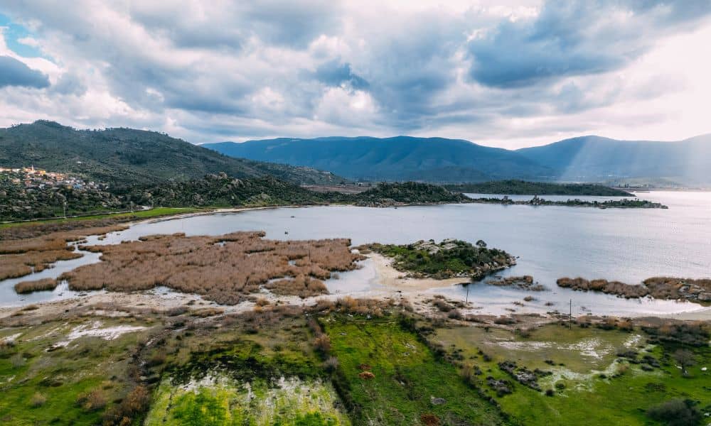
When you think about drone surveying, you might picture maps, big construction sites, or new housing projects. But this week, researchers at the University of Missouri showed something surprising — drones can count ducks. Their new study used artificial intelligence (AI) to track thousands of waterfowl across Missouri wetlands. That sounds like science news, but […]