When you think about drone surveying, you might picture maps, big construction sites, or new housing projects. But this week, researchers at the University of Missouri showed something surprising — drones can count ducks. Their new study used artificial intelligence (AI) to track thousands of waterfowl across Missouri wetlands. That sounds like science news, but it also matters for land surveyors. The same tools that count birds can help surveyors map wetlands, check ground levels, and find drainage problems before they cause delays or damage.
A New Look at Wetlands
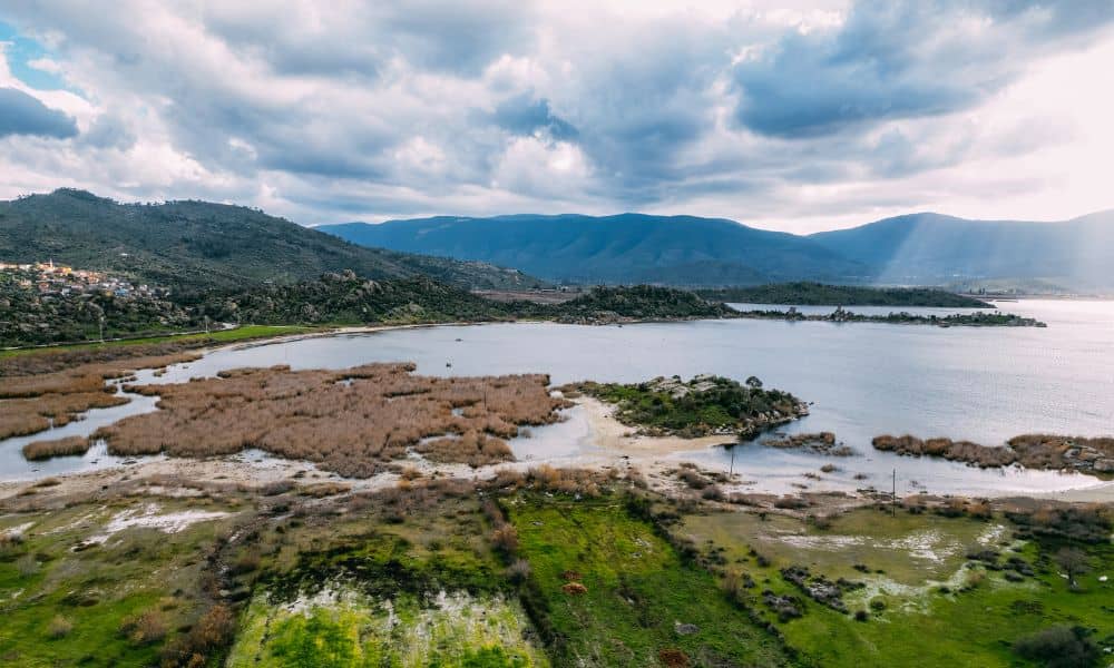
St. Louis sits between the Mississippi and Missouri rivers, with smaller creeks running through the city. Because of this, the area has many flood zones and wetlands that need careful mapping. In the past, surveyors had to walk through muddy areas with heavy gear to collect data. It was slow, costly, and risky during bad weather.
Today, drone surveying makes this work much easier. A drone can fly over a site and take thousands of clear photos in just a few minutes. These images are turned into 3D maps that show every dip, slope, and low spot. The new AI tech from Mizzou adds something extra — it can scan those images and detect patterns, like where water gathers or which areas stay wet. That helps local surveyors work faster and give engineers better data for their site plans.
Why It Matters for St. Louis
Anyone who lives in St. Louis knows how bad flooding can get after a storm. The Metropolitan St. Louis Sewer District (MSD) checks every major building project to make sure the drainage system works. If elevation or grading data is wrong, that project can be delayed for months.
Drone surveying helps prevent that. Instead of using only ground tools, surveyors combine drone maps with GPS points to create highly detailed surface models. These maps show how water flows, where it collects, and how the land slopes. Engineers then use that data to design smarter grading plans, detention basins, and erosion control systems.
Developers benefit too. A survey that once took three weeks can now be done in a few days. And with better data, they can avoid surprise wetlands or flood zones that might cause costly redesigns later.
From Ducks to Drainage Maps
At first, using bird-tracking AI for surveying might sound odd. But if AI can count ducks from above, it can also spot changes on the ground. It can tell the difference between water, grass, and pavement — just like a trained eye would. This makes drone surveying even smarter and faster.
Imagine a surveyor working near the River Des Peres. After a rainstorm, they launch a drone to capture the site. The AI highlights small water pools and drainage paths that weren’t visible before. With that info, the engineer can adjust the plan before construction starts. It saves money, prevents flooding, and keeps the project on schedule.
The Local Challenge: Sinkholes, Floods, and Permits
St. Louis faces another unique problem — sinkholes. The area’s limestone ground can form hidden spaces that collapse after heavy rain. Sometimes they cause small dips; other times they damage driveways or yards. Drone surveying helps monitor these spots by capturing new images over time and comparing changes in elevation.
For surveyors, this is a safe and effective way to catch early warning signs. For homeowners and builders, it means fewer surprises. And for the city, it means better safety and planning in areas that flood or shift easily.
Why Clients Should Care
For property owners, builders, or developers, drone surveying is more than a tech trend — it’s a way to save time and money.
- Faster results: A drone can cover a large property in minutes. The data is processed the same day.
- Better accuracy: Drone maps are combined with GPS data for reliable results that meet MSD and city standards.
- Easy to understand: Aerial photos and 3D maps help clients see slopes, drainage, and boundaries clearly.
- Lower cost: Fewer field visits mean less labor and fewer permit issues.
In short, drone surveying gives everyone a clearer picture — from engineers to property owners — and helps projects move faster.
How Surveyors Use It
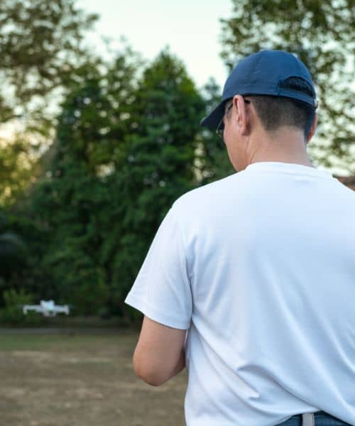
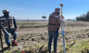
Many local surveyors now use drones on almost every job. They place control points on the ground, launch a drone, and take hundreds of overlapping photos. Then, software turns those photos into detailed maps and surface models. These models show the smallest changes in slope or height, helping engineers plan grading and drainage.
Some surveyors even use LiDAR-equipped drones that can see through trees and brush. That’s helpful in wooded or riverfront areas around St. Louis. By combining drone data with ground surveys, they get the most complete and accurate picture possible.
The Future of Drone Surveying Around Wetlands
The University of Missouri’s research shows how quickly the technology is improving. Soon, AI might analyze the data in real time — spotting wetland edges, flood zones, and drainage problems while the drone is still in the air.
For a city like St. Louis, where water control and land safety are top priorities, this could make a huge difference. Faster data means faster approvals, safer construction, and less risk for everyone involved.
Final Thoughts
At first glance, using drones to count ducks may sound funny. But it shows how powerful this technology has become. The same AI tools that help scientists protect wildlife are now helping surveyors, engineers, and builders make smarter choices.
In St. Louis — where flooding, sinkholes, and tight permit rules are part of everyday life — drone surveying is becoming the new standard. Whether you’re developing land, checking a flood zone, or designing a new neighborhood, drone surveys give you a safer and clearer view of the ground below.