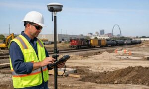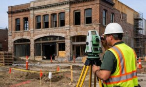
In Kansas City, development is booming. New roads, buildings, and parks are changing the skyline—and behind many of these changes is a powerful tool called LiDAR mapping. It might sound like something from science fiction, but it’s very real and very useful. Let’s explore how LiDAR is helping Kansas City build smarter, faster, and safer.
🛰️ What Is LiDAR Mapping?
LiDAR stands for Light Detection and Ranging. It’s a technology that uses laser light to measure distances and create highly accurate 3D land mapping of the terrain. Imagine thousands of laser pulses bouncing off the ground, trees, or buildings—and then coming back to a sensor to record their position. The result is a detailed digital model of the surface below.
LiDAR can be collected from:
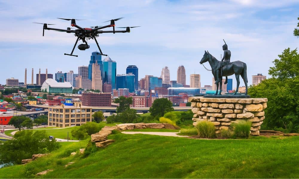
- Drones or airplanes flying above a site (aerial LiDAR)
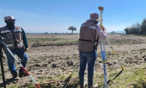
- Tripods or vehicles on the ground (terrestrial LiDAR)
These tools help surveyors and planners understand exactly what the land looks like—down to inches or even millimeters.
🏙️ Why Kansas City Is Turning to LiDAR
Kansas City is growing rapidly. With new roads, bridges, residential neighborhoods, and commercial buildings popping up, city planners and developers need better tools to keep up. That’s where LiDAR comes in.
Here’s why Kansas City benefits from LiDAR:
- The city’s hilly terrain and rivers can be tricky to build on
- Stormwater and flooding are ongoing challenges
- Historic districts need careful planning and preservation
- Kansas City’s focus on becoming a “smart city” means more use of digital data
🛠️ How LiDAR Is Used in Kansas City
LiDAR is already being used in several important ways across the city:
- Roadway and bridge planning: Engineers use LiDAR data to see how land slopes and drains. This helps design roads that are safer and longer-lasting.
- Flood zone mapping: LiDAR is perfect for showing where water flows during storms—critical for Kansas City’s flood-prone areas.
- Utility and pipeline planning: Underground infrastructure needs to be carefully mapped to avoid conflicts or damage during new construction.
- Building and site development: Architects use LiDAR to design buildings that fit perfectly with the land.
- Historic preservation: In places like the Crossroads or West Bottoms, LiDAR helps document and protect old buildings.
📏 LiDAR vs Traditional Surveying
You might be wondering how LiDAR compares to regular land surveys. Here’s a quick breakdown:
| Feature | Traditional Survey | LiDAR Mapping |
| Speed | Slower (more field time) | Much faster |
| Accuracy | High | Extremely high |
| Data Detail | Basic lines and points | 3D models with terrain and objects |
| Safety | Requires boots on the ground | Can be done from air or distance |
LiDAR saves time, reduces cost over large areas, and helps prevent construction surprises later on.
📈 How Developers and Planners Benefit
LiDAR is not just for engineers. Real estate developers, city officials, and even homeowners can benefit from LiDAR in Kansas City.
Some key benefits:
- Faster site reviews
- Better zoning and permit applications
- Reduced design mistakes
- More accurate cost estimates
Using LiDAR early in a project helps avoid problems that can delay or increase costs later.
⚠️ Are There Any Downsides?
Like any tool, LiDAR has limits:
- It requires special software and skilled analysts to interpret the data
- The equipment and flights can be costly upfront
- Sometimes there are concerns about data privacy or sharing
Still, for most city-scale projects, the pros far outweigh the cons.
🧭 What’s Next for LiDAR in Kansas City?
LiDAR is evolving fast. In the near future, Kansas City could see:
- Real-time 3D updates from drones or mobile scanners
- AI-powered analysis that predicts flooding or traffic problems
- Self-driving cars and infrastructure that uses LiDAR sensors to move safely
With tools like LiDAR, Kansas City isn’t just growing—it’s getting smarter about how it grows.
✅ Conclusion: A New Way to Build
From sidewalks to skyscrapers, LiDAR is changing how Kansas City builds. It helps people see what the land looks like without digging or guessing. And in a city that’s balancing growth with history, smart tools like LiDAR make all the difference.
Whether you’re a developer, a city official, or just someone curious about how your neighborhood is changing—LiDAR is one of the silent heroes behind the scenes.