An old farm can look like an easy buy. The land seems open. The buildings sit quiet. But a closed agricultural facility often hides problems you cannot see from the road.
A due diligence survey shows you what the land really holds before you spend money on it. It checks the property lines, the layout, and the risks. That early look can save you from costly surprises later.
Why Closed Agricultural Facilities Require Survey Due Diligence
A due diligence survey is a full check of a property before you buy or build. It looks at the boundaries, the structures, and the ground itself. For a closed farm site, that check matters even more.
Old farms often grew over many years with little paperwork. Fences moved. Sheds went up without permits. Old wells and tanks got buried and forgotten. A survey brings all of that back into view.
You also learn who owns what. Property lines on farmland are often unclear. A neighbor’s driveway or field may cross your line. Knowing the true boundary early helps you avoid a fight later.
Reviewing Existing Site Conditions Before Redevelopment Planning
Before you plan anything new, you need to know what’s already there. A site conditions review maps the current layout. It records buildings, roads, utilities, and drainage.
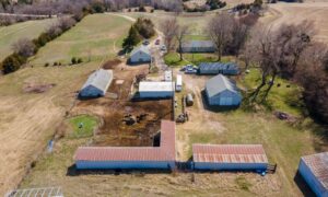
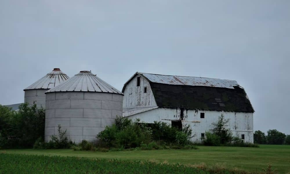
Closed farms carry a lot of leftover features. Grain bins, barns, silos, and old pads may still sit on the land. Some can be reused. Some must come down. A survey tells you where each one stands and how much room it takes.
Utilities matter too. You need to know where water, power, and septic lines run. Old farm utilities are often placed in odd spots. Finding them now keeps you from digging into a live line during construction.
How Boundary and Topographic Surveys Support Property Decisions
Two survey types do most of the heavy lifting on a former farm. A boundary survey sets the property lines. A topographic survey maps the shape of the land. Together they guide almost every choice you make.
A boundary survey marks where your land starts and stops. It uses legal records and field measurements to set the corners. On old farmland, recorded lines and fence lines rarely match. This survey clears up the gap so you know exactly what you own.
A topographic survey shows hills, slopes, and low spots. It maps how water moves across the site. That data drives your grading, drainage, and building plans. Flat-looking fields can hide dips that flood in heavy rain.
Identifying Development Risks on Former Agricultural Properties
Former farms come with risks that raw land does not. A survey helps you spot them before they cost you. Here are the common ones to watch.
- Old fuel tanks, both above and below ground
- Wells that were never sealed
- Easements that let others cross your land
- Floodplain areas near creeks and ditches
- Access roads that do not match the deed
Each of these can slow a project or change your budget. A survey flags them on a map you can act on. That gives you time to plan, price, or walk away before closing.
Using Survey Data to Guide Rural Redevelopment Projects
Good survey data turns a rough idea into a real plan. Once you know the lines, the slopes, and the risks, you can design with facts. That lowers your chance of a costly redo.
Survey data also helps with permits. Local offices often want an accurate site map before they approve a plan. Rules can vary by county, city, and project type, so confirm what your site needs early. A clear survey speeds that step up.
Lenders and title companies lean on survey data too. It backs up the property’s value and legal shape. If your timing depends on a loan or a closing date, order the survey early. Waiting can push your whole schedule back.
Frequently Asked Questions
What Does a Due Diligence Survey Reveal Before Redeveloping an Agricultural Property?
A due diligence survey reveals the true property lines, the layout, and the site’s risks. It maps old buildings, utilities, wells, and tanks. It also shows slopes, drainage, and any floodplain areas. This gives you a clear picture before you plan a single new structure.
Why Should Developers Survey a Closed Agricultural Facility Before Construction?
Building without a survey means building on guesses. A survey confirms where you can and cannot build. It flags easements, setbacks, and boundary issues that could stop work. Developers who survey first avoid costly delays and legal problems later.
Can Survey Data Help Determine Whether a Rural Property Is Suitable for Reuse?
Yes, survey data is one of the best tools for judging reuse. It shows if the land can support new roads, pads, and utilities. It reveals grading and drainage needs that affect your cost. With that data, you can decide if the site fits your plan or not.