Why Land Surveying Matters Before Repairing Storm Damage

Kansas City has seen several strong storms lately. Heavy rain, strong wind, and flash flooding caused damage across many neighborhoods. Trees fell, fences broke, and yards filled with water. Because of that, many homeowners now plan repairs around their property. However, storms often reveal problems that people did not notice before. Water may flow in […]
Surveyor for Fence Installation: Avoid Property Line Disputes
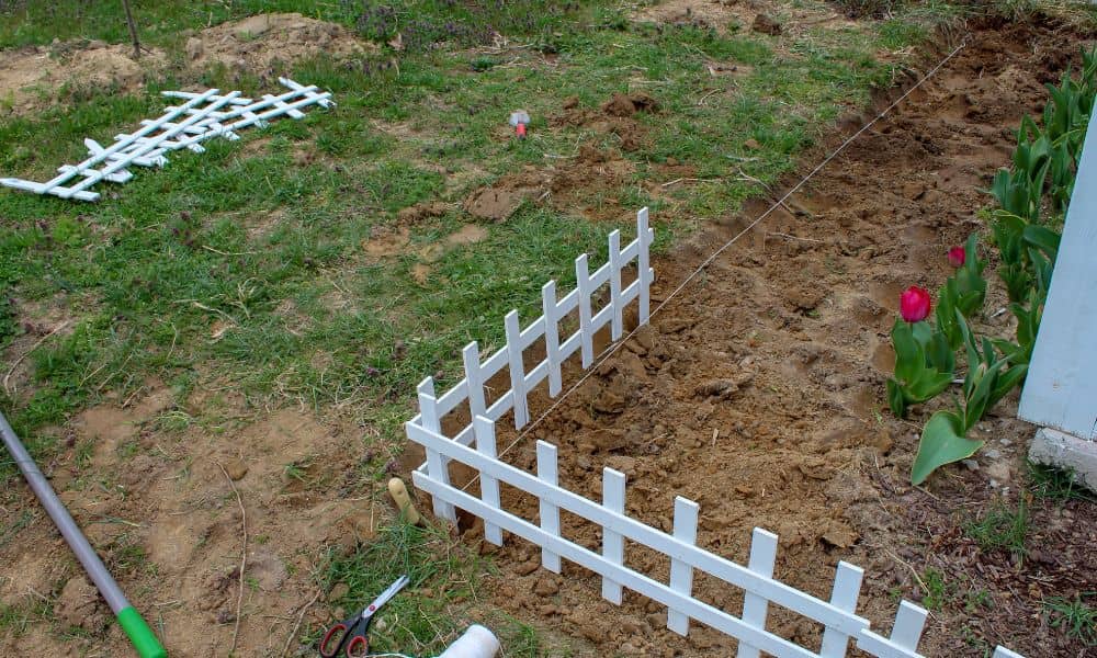
Building a fence sounds simple. Many homeowners picture picking a style, calling a contractor, and installing it along the edge of the yard. However, things often become complicated once the project starts. A fence that sits even a few inches over the property line can cause serious problems with neighbors. Recently, stories about neighbor disputes […]
ALTA Land Survey Certification: Who Should Be Named?

When you order an ALTA land survey, you expect clear boundaries, mapped easements, and solid documentation. However, right before closing, another question often appears: “Who needs to be named in the certification?” At first, this sounds small. Yet this single detail can delay funding, require revisions, and create stress during closing week. So let’s break […]