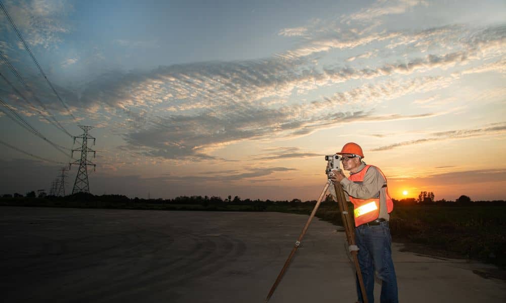
When you order an ALTA Land Title Survey, you expect precision—every inch of boundary, easement, and improvement mapped exactly where it belongs. In Kansas City, developers, lenders, and property buyers rely on this survey to confirm that what’s on paper matches what’s on the ground. But this week, surveyors across the metro are keeping an extra eye on the sky.
The NOAA Space Weather Prediction Center has issued a G4 (severe) geomagnetic storm watch from November 11–13, 2025. That might sound like something only astronomers care about, but this kind of solar activity can disrupt GPS systems—the very backbone of modern surveying. If your project depends on satellite accuracy, this solar storm could cause brief signal errors, drift, or total positioning dropouts. For an ALTA Land Title Survey, where even a few centimeters matter, that’s a big deal.
What Space Weather Has to Do with Surveying
Here’s the short version: the sun sometimes throws a burst of charged particles toward Earth. When those particles hit our atmosphere, they disturb the ionosphere, the layer that GPS satellites use to send location data down to receivers on the ground.
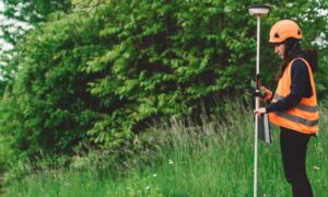
During a strong solar storm, GPS signals can get bent, delayed, or scrambled. For most people, that might mean your phone’s map app briefly loses accuracy. But for surveyors, who use GPS and Real-Time Kinematic (RTK) corrections to pinpoint locations within a centimeter, that interference can ruin an entire day’s work.
You might see survey crews pause fieldwork, recheck control points, or switch equipment modes. It’s not overcaution—it’s protection. Every coordinate on an ALTA survey has to stand up in court or hold firm during a multimillion-dollar property closing.
Why It Matters for ALTA Land Title Surveys
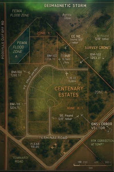
An ALTA Land Title Survey isn’t just another boundary map. It’s the gold standard for showing everything that affects a property’s ownership, rights, and use. Lenders and title companies require it before releasing funds. Developers need it to confirm access, easements, and setback compliance.
That level of trust means zero tolerance for inaccuracy. When a solar storm disrupts satellite correction signals, survey instruments may record slightly off-position data. Even a small error can shift a boundary line or change how an easement is shown on paper. Those shifts can ripple into loan delays, re-drawn plats, or arguments between buyers and sellers.
In Kansas City, where new construction and redevelopment move quickly, delays cost money. Survey teams know this. That’s why they prepare backup plans when space weather threatens their instruments’ precision.
Kansas City’s Busy Groundwork Meets Space Weather
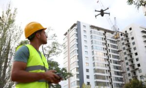
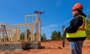
Right now, Kansas City’s skyline tells a story of nonstop growth. From downtown infill projects to warehouse expansions near the airport, survey crews are everywhere. Many of these jobs require ALTA surveys—especially when properties change ownership or financing.
Imagine a surveyor staking control points along a commercial site in Midtown while satellites above are flickering with interference. The GNSS receiver might drift a few inches between shots, and that’s enough to misrepresent a boundary or encroachment. For everyday mapping, that’s tolerable. For an ALTA survey, it’s unacceptable.
That’s why this week’s storm warning matters. Crews can’t see solar radiation, but they’ll feel it in their data. Survey firms will be monitoring satellite stability all week, adjusting their field schedules, and rechecking control monuments to make sure the final product stays precise.
How Professionals Protect Survey Accuracy
Good surveyors don’t leave accuracy to chance. When space weather makes GPS unreliable, they rely on older—but still rock-solid—methods.
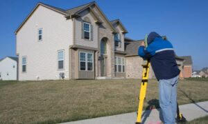
They might switch to total station instruments that use line-of-sight measurement instead of satellites. Some crews run hybrid setups, combining GNSS with robotic total stations to double-check positions. Others log GPS data for post-processing, letting software correct errors once the storm settles.
These steps take more time, but they guarantee that your ALTA survey holds up to ALTA/NSPS standards. The client might never notice the adjustment, but it’s the reason your closing documents stay error-free.
What’s also important is communication. The best surveyors explain why work might pause for a few hours or shift to another day. It’s not a delay—it’s quality control. The focus stays on delivering certified accuracy, even when the sun isn’t cooperating.
What Clients and Lenders Can Do
If your closing or development schedule overlaps with this week’s geomagnetic storm, stay flexible. Allow your surveyor a day or two of breathing room. It’s better to have slightly later results than to risk unreliable data.
Ask if your surveyor monitors NOAA space weather alerts or uses redundant positioning systems. Many firms do—they plan ahead so clients don’t have to worry.
For lenders and title officers, knowing your survey team is watching these events shows professionalism and responsibility. It proves that your partners care about accuracy and compliance, not just speed.
Lessons From the Storm
Geomagnetic storms remind us that even the most advanced technology depends on forces we can’t control. But that doesn’t mean your project has to stall. With the right expertise and preparation, surveyors can deliver ALTA Land Title Surveys that meet every legal and technical requirement—storm or no storm.
The next time a space-weather alert pops up, think of it as a behind-the-scenes reminder of how much precision goes into the documents that secure your property rights. Your surveyor isn’t just measuring land; they’re safeguarding investments that stretch from Kansas City to the stars above it.
Final Thoughts
When you see headlines about a solar storm this week, remember it’s not just a sky show—it’s something that can ripple through every GPS-based industry, including surveying. But skilled professionals plan ahead.
Ordering your ALTA Land Title Survey early gives your surveyor time to adapt to weather, schedules, and even solar flares. It ensures your data stays reliable and your project stays on track.
So while the sun might cause a few magnetic hiccups, surveyors have a backup plan ready. Precision, after all, is what they do best—no matter what’s happening 93 million miles away.
