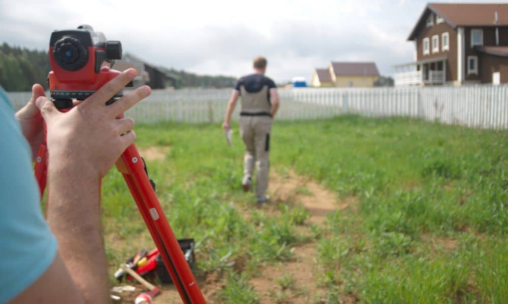
On September 5, 2025, a 2.4 magnitude earthquake shook near Fenton in South St. Louis County. Most residents didn’t even notice it. No broken windows, no major cracks, and certainly no chaos. Yet, even a minor event like this can shift things in ways that aren’t obvious. That’s where a boundary survey comes in.
When the ground moves, even just a little, corner markers, fences, and old foundations can move too. If you’re a homeowner, builder, or property investor, ignoring small quakes can create big headaches later.
Small Quakes, Big Consequences
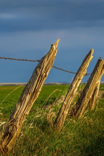
Most people think only large earthquakes change the landscape. That’s not always true. Small quakes can create hairline cracks in brick walls or cause a fence post to tilt a few inches. These shifts may not seem important, but they can throw off your property lines or create disputes down the road.
Think of it like your car alignment. A tiny bump on the road doesn’t look serious, but if your wheels shift slightly, the problem grows over time. Land is no different. What looks like “no damage” can turn into real issues when you try to build, sell, or refinance.
What Really Moves During a Micro-Quake
Here in St. Louis, many homes sit on older brick foundations or are surrounded by retaining walls. Even a light tremor can disturb them. You might not notice right away, but surveyors often see:
- Corner monuments that no longer match the original plat.
- Retaining walls leaning a few degrees.
- Gates that suddenly don’t latch like they used to.
None of these are dramatic, but they matter. They matter because your legal rights, your ability to improve your property, and even your resale value depend on accurate boundaries.
How a Boundary Survey Protects You
A boundary survey isn’t just a map with lines. It’s a professional checkup that ensures your property corners and lines are exactly where they should be. After a quake, this becomes even more important.
Surveyors confirm whether corner markers are still in place and compare today’s measurements to historic records. If something shifted, you’ll know. If not, you’ll have peace of mind. Either way, you gain confidence that your land is secure and documented.
This step also prevents surprises. Imagine pouring a new driveway or adding a deck, only to discover later that your project sits on a neighbor’s lot. That’s a lawsuit waiting to happen. A boundary survey keeps you safe before you spend a dime on construction.
Why Timing Matters
The recent quake near Fenton may not be the last. Missouri sits near the New Madrid Seismic Zone, which has a history of tremors both small and large. While most are mild, history shows the region isn’t immune to sudden movement.
That makes post-quake checkups smart. You don’t need to wait for visible cracks. In fact, the best time to get a boundary survey is when the ground seems stable. That way, you can catch small issues before they grow into big ones.
Signs You Shouldn’t Ignore
Not sure if you should call a surveyor after a small quake? Pay attention to these hints:
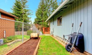
- Your fence posts or gates no longer line up.
- Hairline cracks appear on your patio or steps.
- Retaining walls lean more than before.
- Neighbors mention they felt shaking in your area.
Even if you didn’t feel the quake yourself, it could still have moved your property markers. Land doesn’t always advertise when it shifts.
The Quick Homeowner Check
You don’t need fancy tools to do a first scan. Walk your yard in daylight. Take photos of fences, corners, and walls. If you see new cracks or leaning structures, jot them down. These notes can help a surveyor understand what happened and create a record if you ever need to file an insurance or FEMA claim.
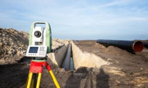
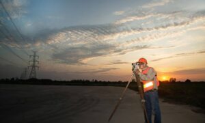
The surveyor then uses precise instruments to confirm whether your property corners match legal records. If something shifts, they’ll document it. If not, you can rest easy knowing your land is exactly where it should be.
Local Tools You Can Use
Want to keep track of seismic activity in the St. Louis region? Bookmark these:
- USGS Earthquake Map – Real-time updates on every quake, no matter the size.
- Local news outlets – KSDK and The Telegraph often report seismic events quickly.
Checking these resources helps you stay aware, even if you don’t feel the shaking yourself.
Protecting Your Investment
Think about it this way: your home is likely your largest asset. Would you risk it over a $500–$800 survey? That small investment could save you thousands if a dispute, project delay, or legal issue arises later.
Construction crews, real estate buyers, and banks all rely on accurate property records. That’s why many homeowners turn to property survey—from basic checks to full boundary surveys—after events like the recent quake. The right survey gives you confidence that your land records match the reality on the ground. It’s not about fear. It’s about smart ownership.
Peace of Mind After the Ground Moves
Even though the Fenton quake barely registered for most people, it’s a reminder of how fragile land records can be. What you don’t see can hurt you later. A boundary survey after a quake doesn’t just check corners—it protects your ability to build, sell, and defend your property.
So if you live in St. Louis, don’t shrug off the news of a “small” earthquake. Get your property checked, document what you see, and let a licensed land surveyor confirm your land is secure.
Because in real estate, even the tiniest shift can make the biggest difference.
