Why a Topo Survey Could Decide the Next Stadium Site

Kansas City is buzzing again. A new poll shows rising support for moving the Royals to a new suburban stadium, and the debate is heating up fast. People are talking about traffic, parking, money, and tradition. But behind all the noise, one quiet factor could guide the entire decision: the topo survey. A topo survey […]
How a Property Survey Could Have Stopped a Court Battle

Most people don’t expect a small strip of grass to send them to court. Yet that’s exactly what happened in West Peoria, Illinois. Two neighbors spent seven years fighting over who owned a 100-foot by 188-foot patch of land. The whole conflict could have ended early if someone ordered a property survey before building or […]
When Solar Storms Threaten Your ALTA Land Title Survey
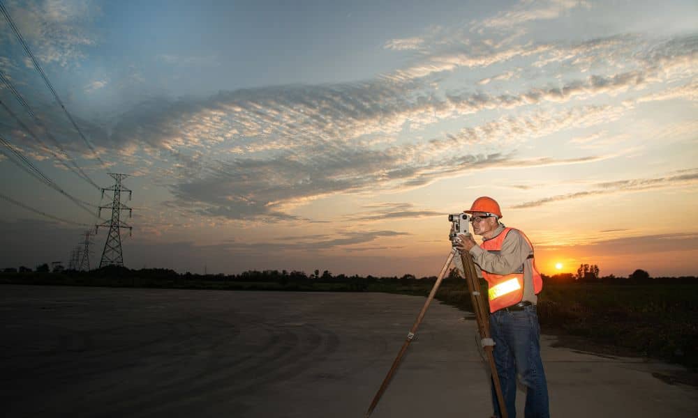
When you order an ALTA Land Title Survey, you expect precision—every inch of boundary, easement, and improvement mapped exactly where it belongs. In Kansas City, developers, lenders, and property buyers rely on this survey to confirm that what’s on paper matches what’s on the ground. But this week, surveyors across the metro are keeping an […]