Why Elevation Certificate Checks Surge After Flood Rescues

When flood rescue videos from Kansas City started spreading online this week, many homeowners felt the same reaction: Could that happen near me? Even people outside mapped flood zones began checking their addresses, insurance papers, and loan files. As a result, survey offices and engineering firms saw a sudden spike in calls about one document […]
Topographic Survey: Predict Water Flow After Utility Breaks
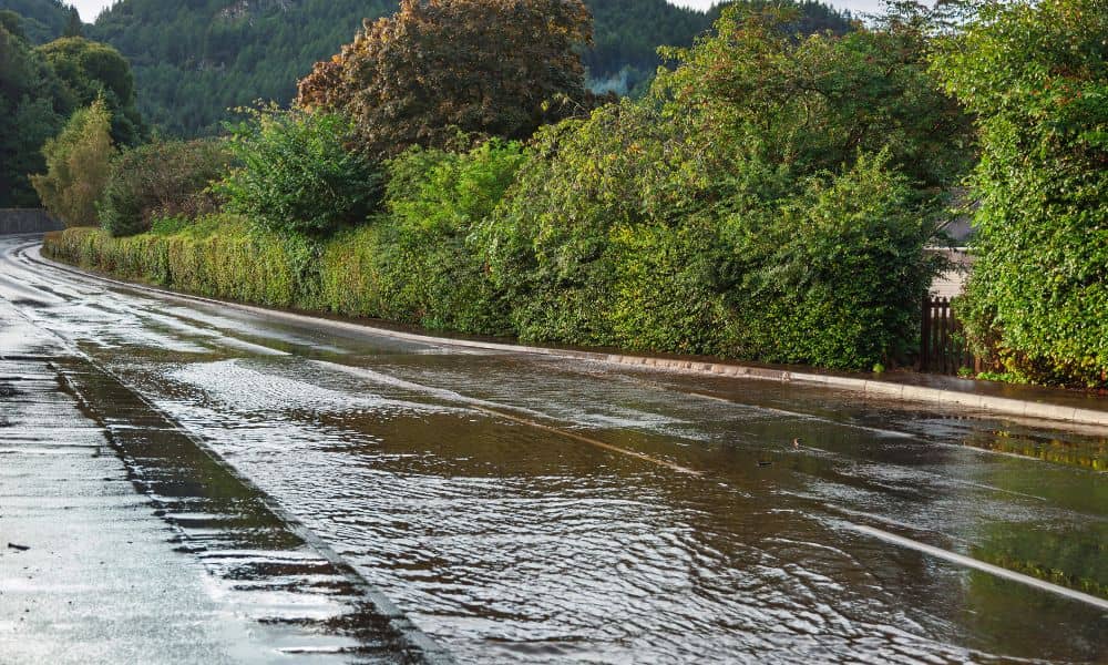
When a city water line breaks, the damage often looks random. One block floods badly while the next stays mostly dry. A parking lot turns into an ice sheet, yet a nearby entrance stays clear. To most people, it feels like a chance. However, water does not move by luck. It follows elevation, slope, and […]
LiDAR Mapping: How the Drone Boom Is Driving New Demand

Kansas City has seen a big rise in drone use across construction, engineering, and land development. Drones now appear on many job sites. They help teams check progress, inspect areas, and gather data. Because of this, expectations for land information have changed. Today, developers no longer settle for simple aerial photos. Instead, they want clear […]