Land Survey Cost Factors for Multi-Acre Rural Properties

You found the perfect land for your project. Sixty acres. Wooded hills. A creek runs through it. Everything looks great until you ask: “How much will a land survey cost?” The answer is not simple. Land survey cost for rural land works differently than for small houses. A five-acre suburban lot might cost $300 to […]
Land Surveying Questions Before Buying Property Near Freight Corridors
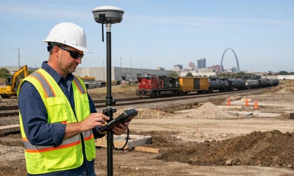
Land surveying helps buyers find easements, access rights, and property lines before buying land near freight corridors. In Missouri, especially near St. Louis, this matters for developers who need to know what they can build before closing. Why Freight Corridors Can Affect More Than Traffic Patterns Land surveying is one of the first steps a […]
Why an ALTA Survey Matters Before Buying a Historic Redevelopment Property

Buying a historic redevelopment property can be a smart investment. But before you think about tax credits or renovation plans, one step matters most: ordering an ALTA survey. This article explains what that survey does, why it is so important for older buildings, and why getting it done before you close on the property is […]