LiDAR Mapping: Changing How We Build Cities

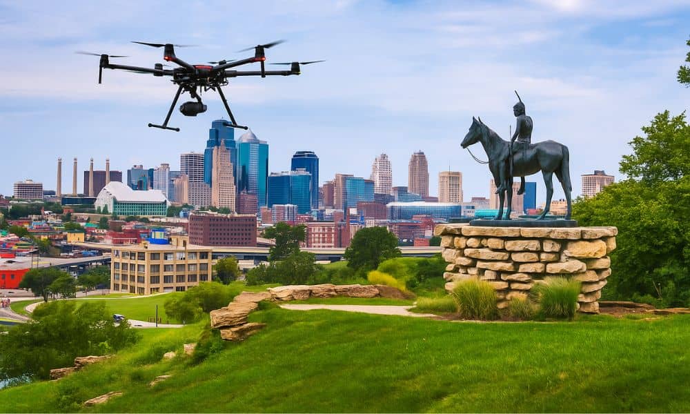
In Kansas City, development is booming. New roads, buildings, and parks are changing the skyline—and behind many of these changes is a powerful tool called LiDAR mapping. It might sound like something from science fiction, but it’s very real and very useful. Let’s explore how LiDAR is helping Kansas City build smarter, faster, and safer. […]